OSM (Open Street MAP) for GARMIN EDGE520J Review
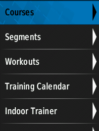
It seems that I can replace the default map of Garmin Edge520J.
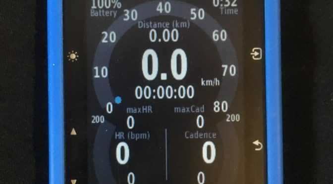
Default map is not useful for me.
Default Map of GARMIN EDGE520J
So, I searched a map called OSM.
Here is a one of poplar site:
Free maps for Garmin brand GPS devices from OpenStreetMap
http://garmin.openstreetmap.nl/
However, I did not try this.
I don’t think it is for Japanese people.
OpenStreetMap for GARMIN
http://osm-for-garmin.org/
In this time, I introduce this map.
ATTENTION: This is UNSUPPORT way of GARMIN.
ATTENTION: This is still a Beta Map as of May 3, 2016.
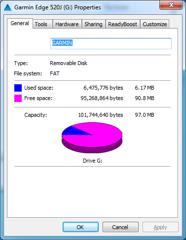
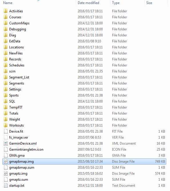
I downloaded a file named “EDGE520J_NE_160422.zip” released in April 22, 2016.
It support ONLY North East of Japan area.
(There are another area files)
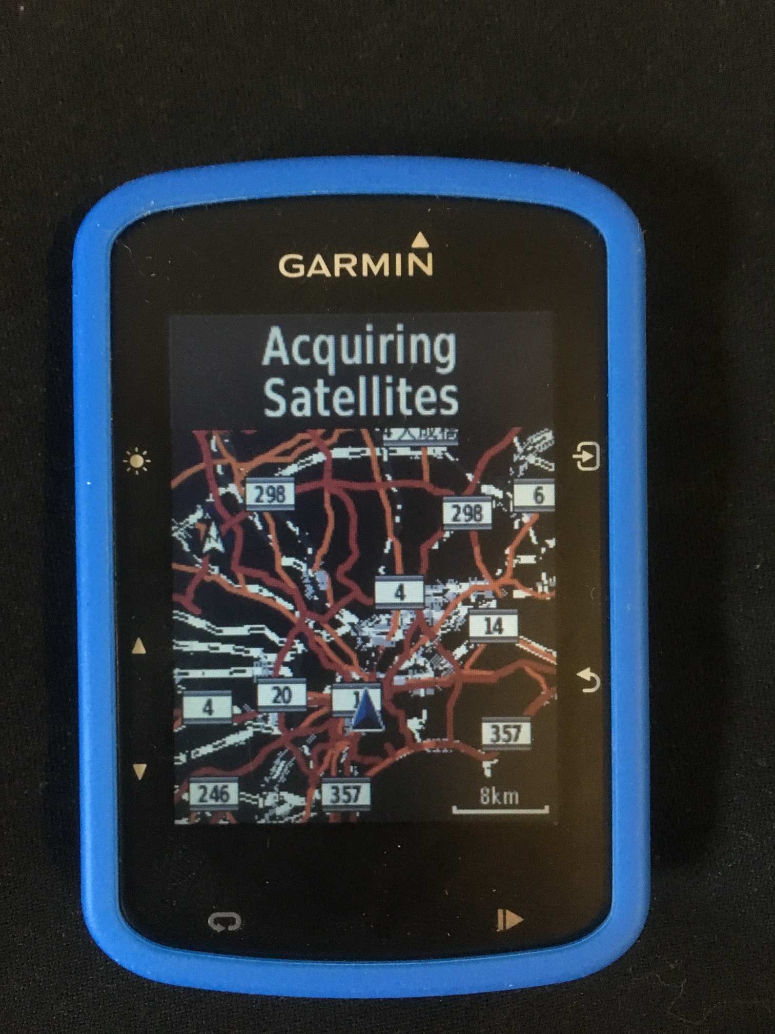
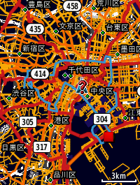
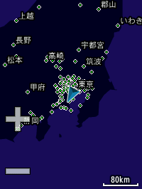
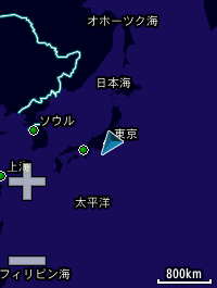
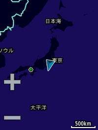
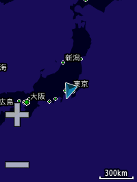
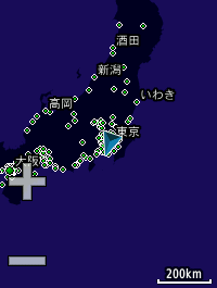
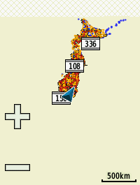
I got screenshots of all range below:
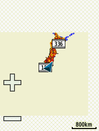
800km
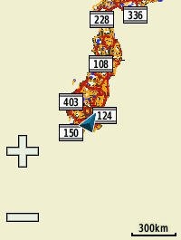
300km
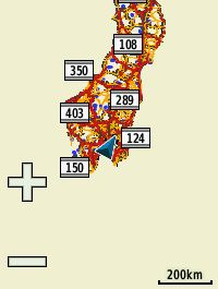
200km
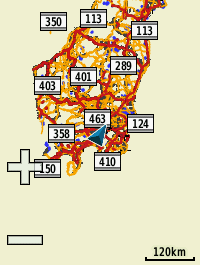
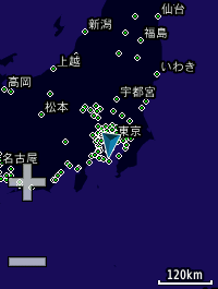
120km
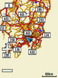
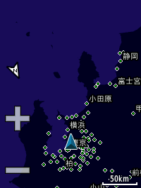
80km
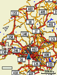
50km
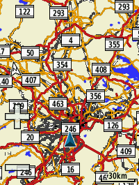
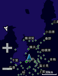
30km
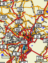
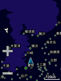
20km
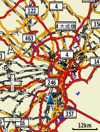
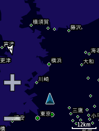
12km
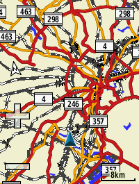
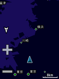
8km
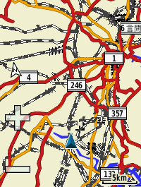
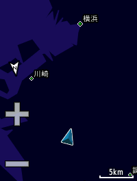
5km
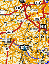
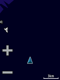
3km
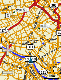
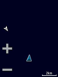
2km
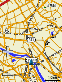
1.2km
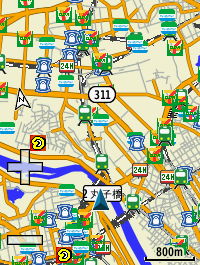
800m
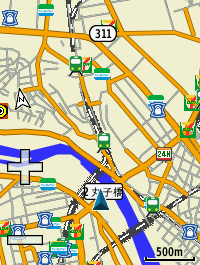
500m
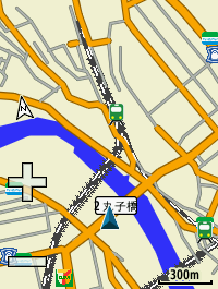
300m
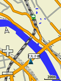
200m
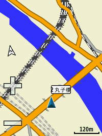
120m
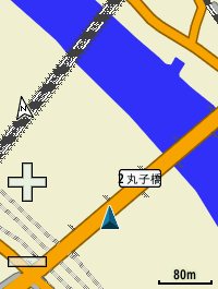
80m
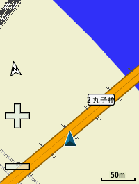
50m
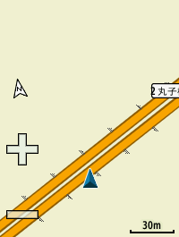
30m
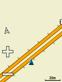
20m
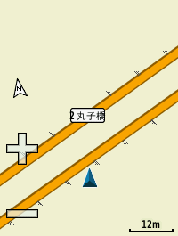
12m
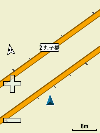
8m
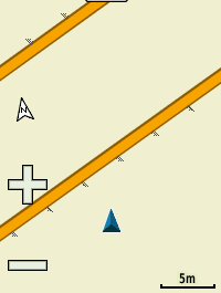
5m
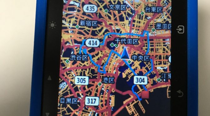
How nice!!
This is the map!!
icon of convenient store is very useful. (but sometime, it is wrong. may be old data? Anyway, that’s okay for me 🙂
I like it! Thanks, developer members!!