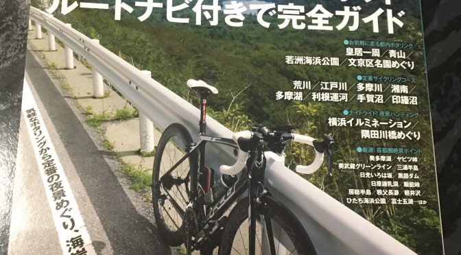
I bought this book today 🙂
because I’m looking for something cycling road in Kanto area.
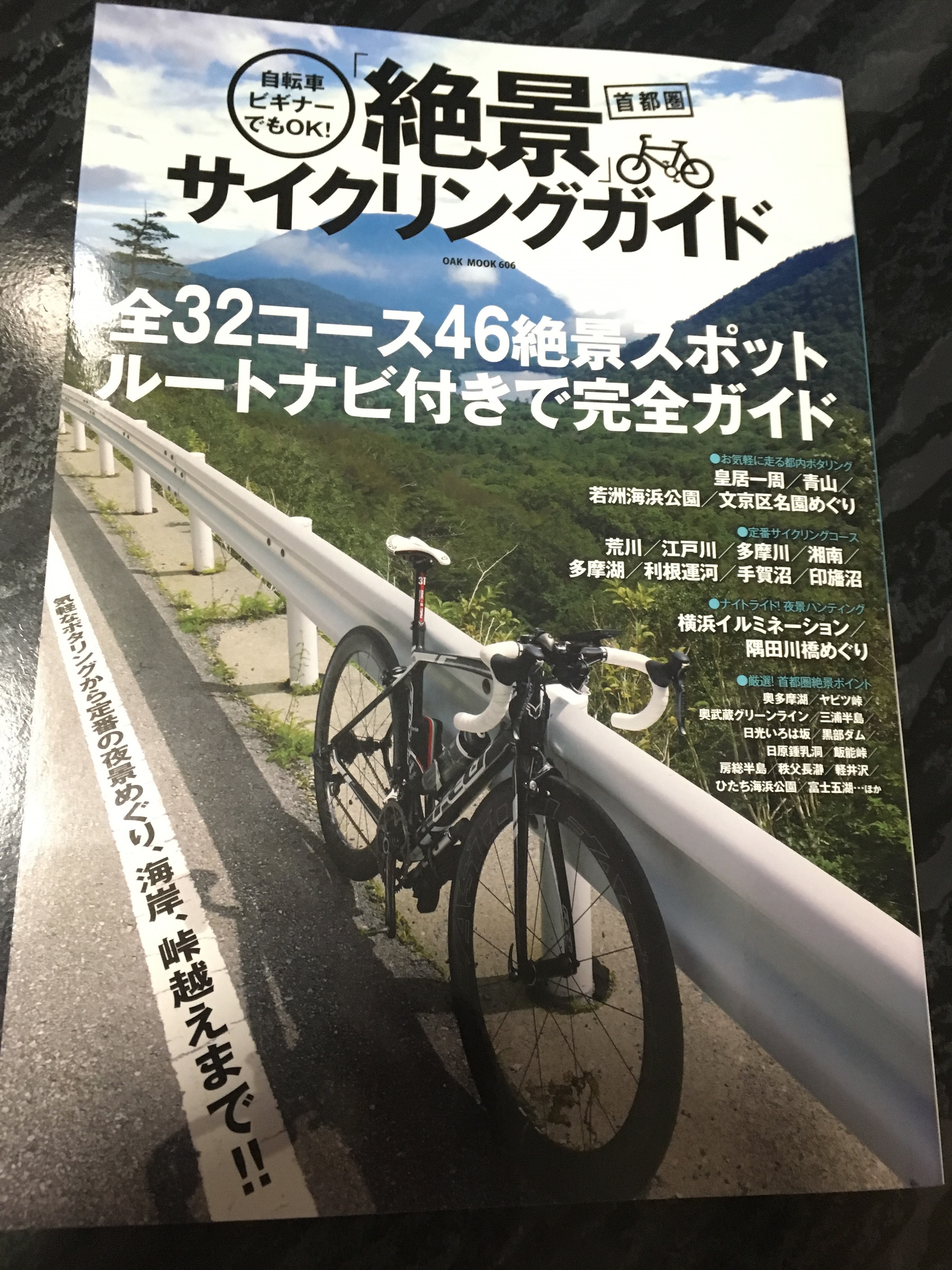
Thare are many cycling road in Kanto.
Ill ‘be there someday 😉
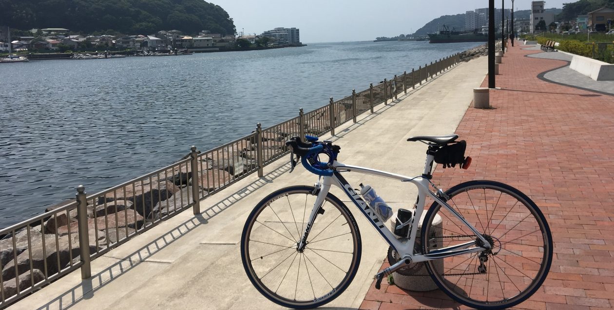
My Bike items
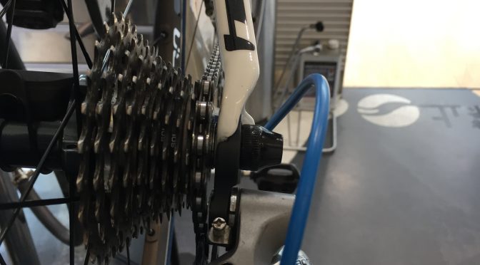
I felt something strange about rear derailleur.
because, sometime suddenly changed gear when I did not excepted.
So that, I went to a Giant store to check about it.
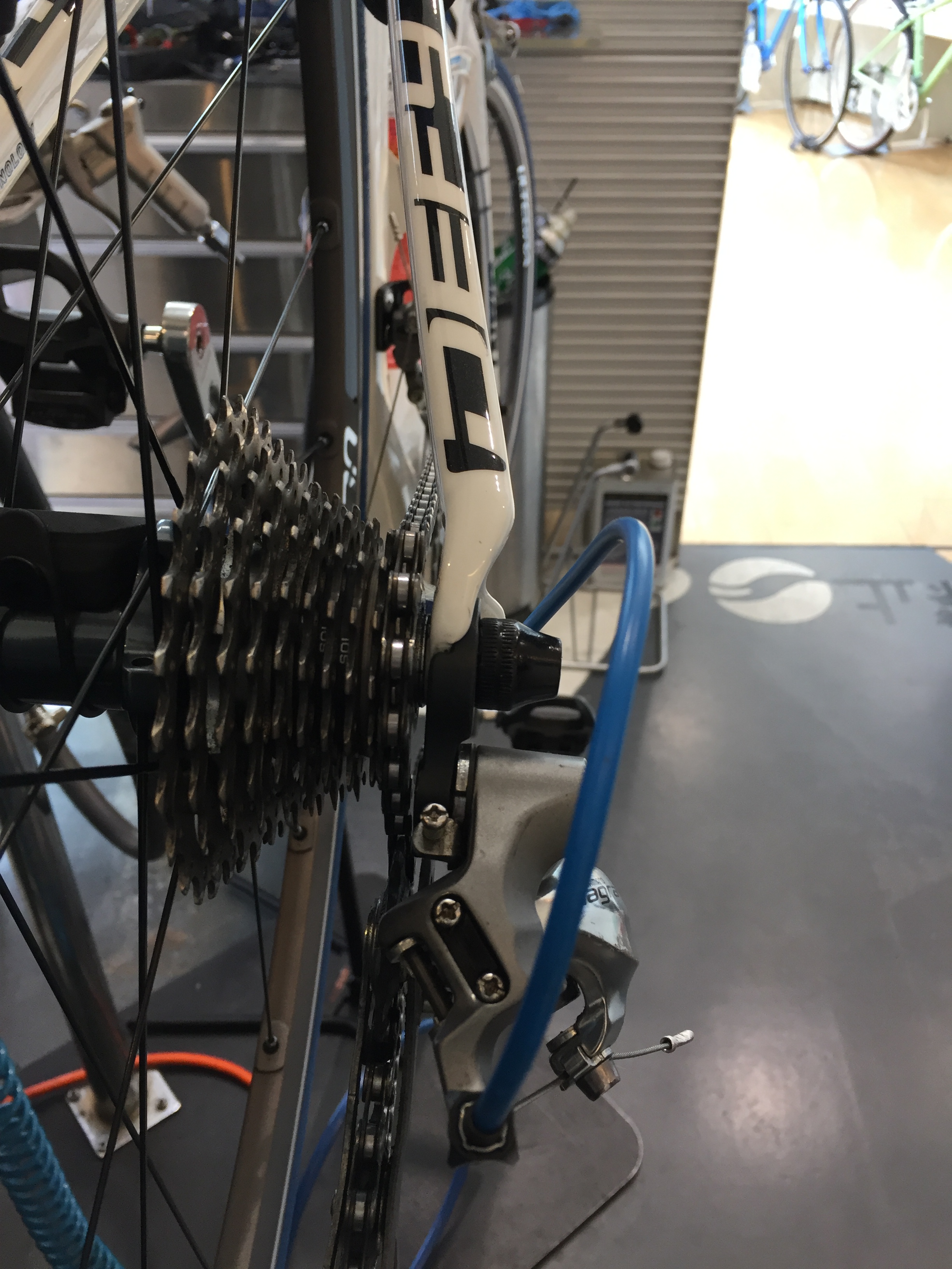
I thought, a wire or a chain should be extened. becaue I ride more than 2000km already.
But…
After checking my bike, a staff told me a rear derailleur hanger was broken. a little bit bend. then asked me that did I fall down to right side before? Or something hit when I carrin in ( Rinkou)?
Yes, I remember that I felt down right side twice a few month ago. (Tachigoke!!)
A rear derailleur hanger is a very sensitive part. because it protect flame.
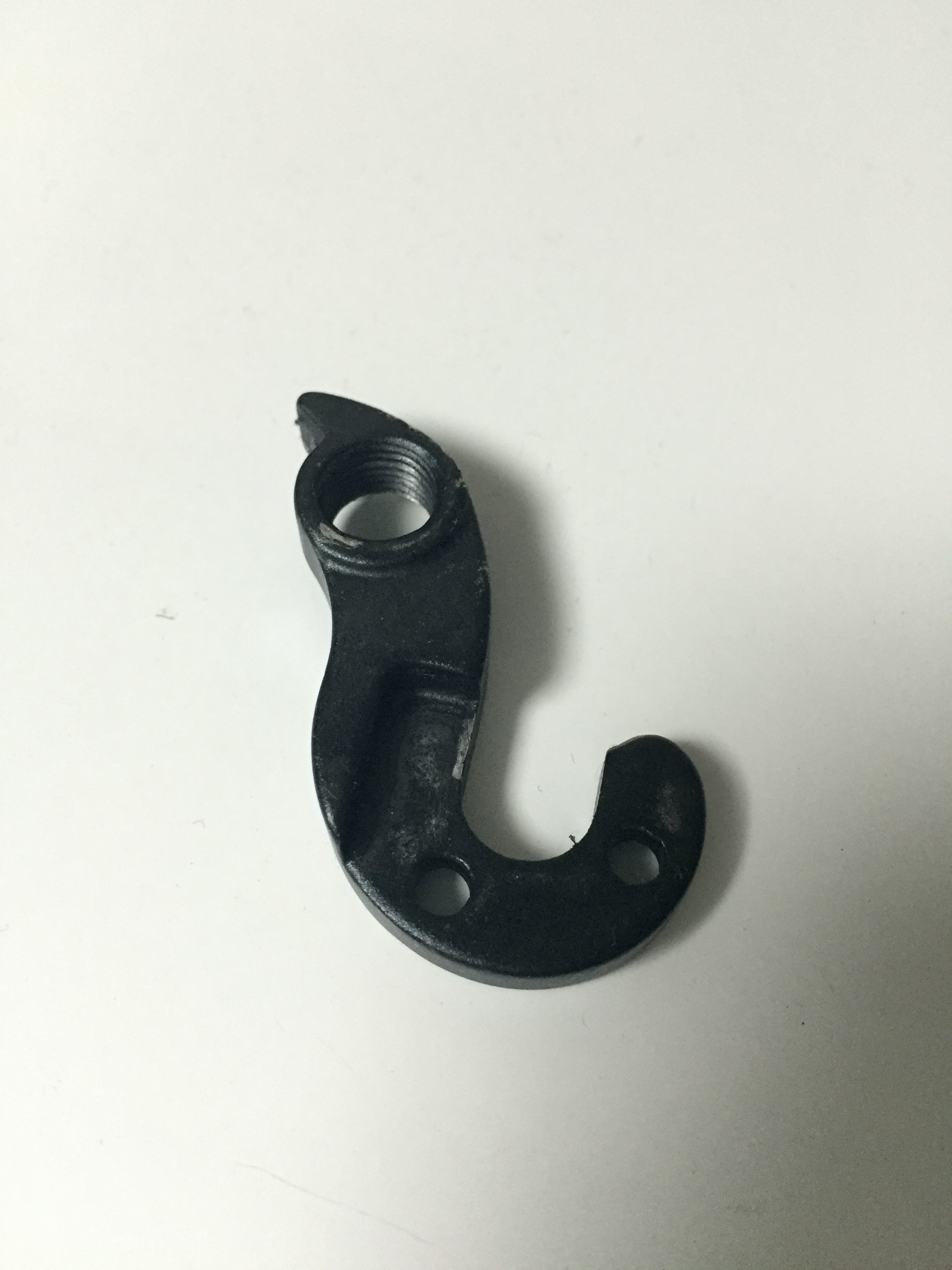
This is the rear derailleur hanger. it was broken.
There is a hanger between rear derailleur and flame.
OSM (Open Street MAP) for GARMIN EDGE520J Review
It seems that I can replace the default map of Garmin Edge520J.
Default map is not useful for me.
So, I searched a map called OSM.
Here is a one of poplar site:
http://garmin.openstreetmap.nl/
However, I did not try this.
I don’t think it is for Japanese people.
In this time, I introduce this map.
ATTENTION: This is UNSUPPORT way of GARMIN.
ATTENTION: This is still a Beta Map as of May 3, 2016.
I downloaded a file named “EDGE520J_NE_160422.zip” released in April 22, 2016.
It support ONLY North East of Japan area.
(There are another area files)
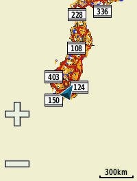
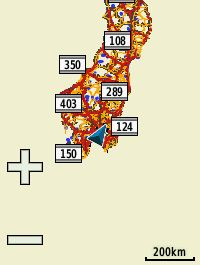
I got screenshots of all range below:
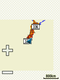
800km
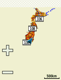
300km
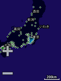
200km
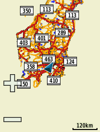
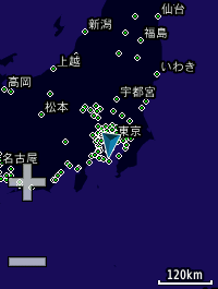
120km
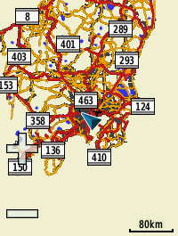
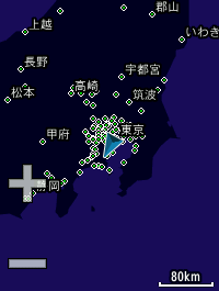
80km
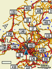
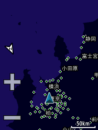
50km
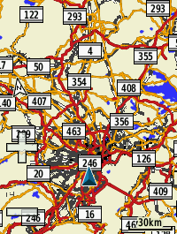
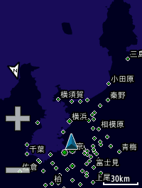
30km
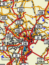
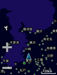
20km
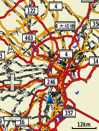
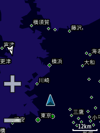
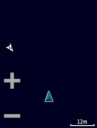
12km
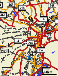
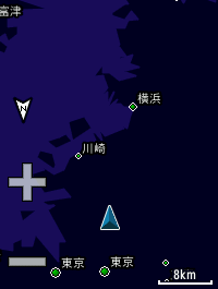
8km
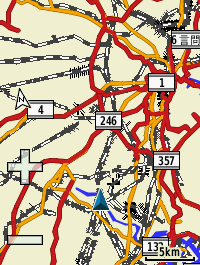
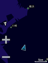
5km
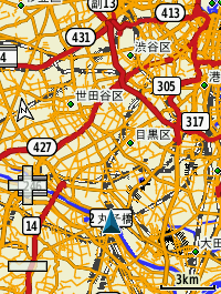
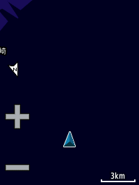
3km
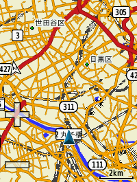
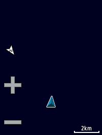
2km
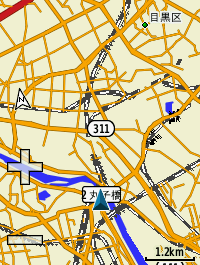
1.2km
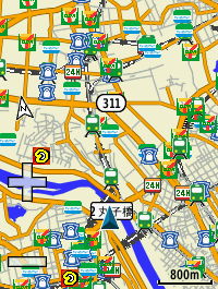
800m
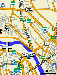
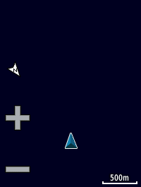
500m
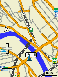
300m
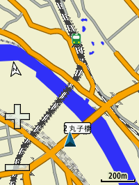
200m
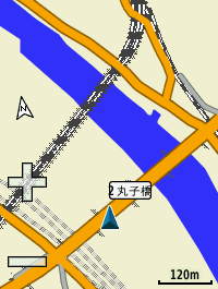
120m
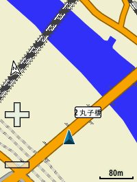
80m
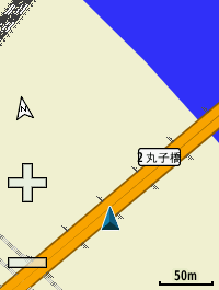
50m
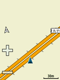
30m
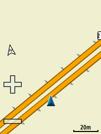
20m
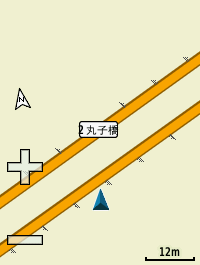
12m
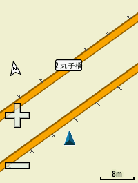
8m
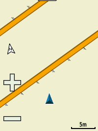
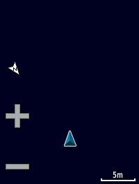
5m
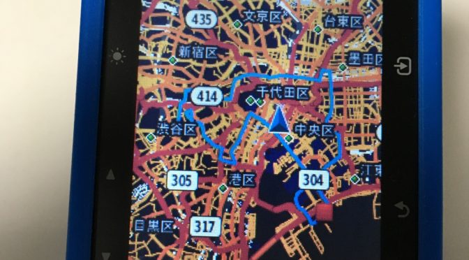
How nice!!
This is the map!!
icon of convenient store is very useful. (but sometime, it is wrong. may be old data? Anyway, that’s okay for me 🙂
I like it! Thanks, developer members!!
Defaut Map of GARMIN EDGE520J Review
Range seems to be from 5m to 800km.
I got screenshots of all range below:
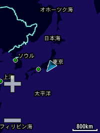
800km
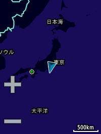
500km
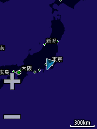
300km
200km
120km
80km
50km
30km
20km
12km
8km
5km
3km
2km

1.2km

800m
500m

300m

200m

120m

80m

50m

30m

20m
12m

8m
5m
Is this map???
Storage Check:
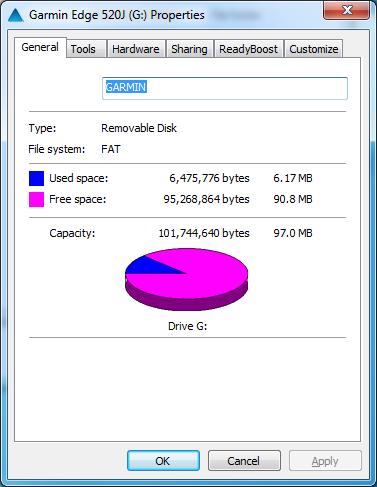
It seems that 97MB free!!
File list:
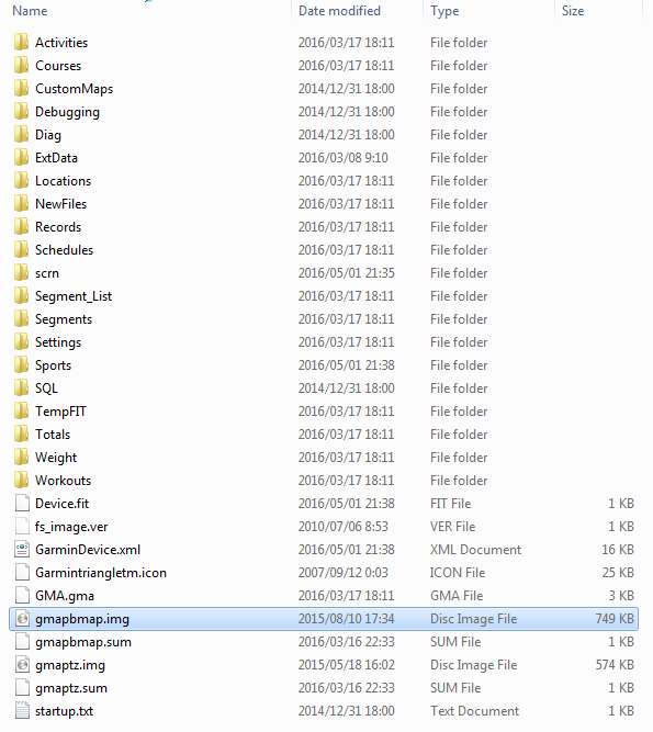
gmapbmap.img size is 749KB
WOW, It’s tooooo small.
I’ll try Open Street MAP next!!
Amazon Link:
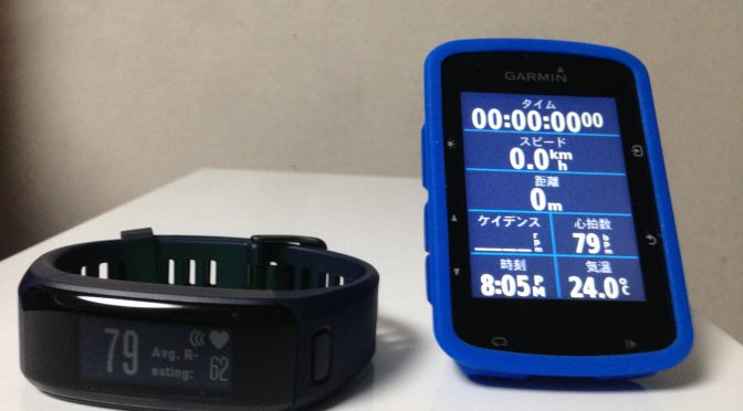
GARMIN EDGE 520 can connect HR with vivosmart HR after Broadcast mode.
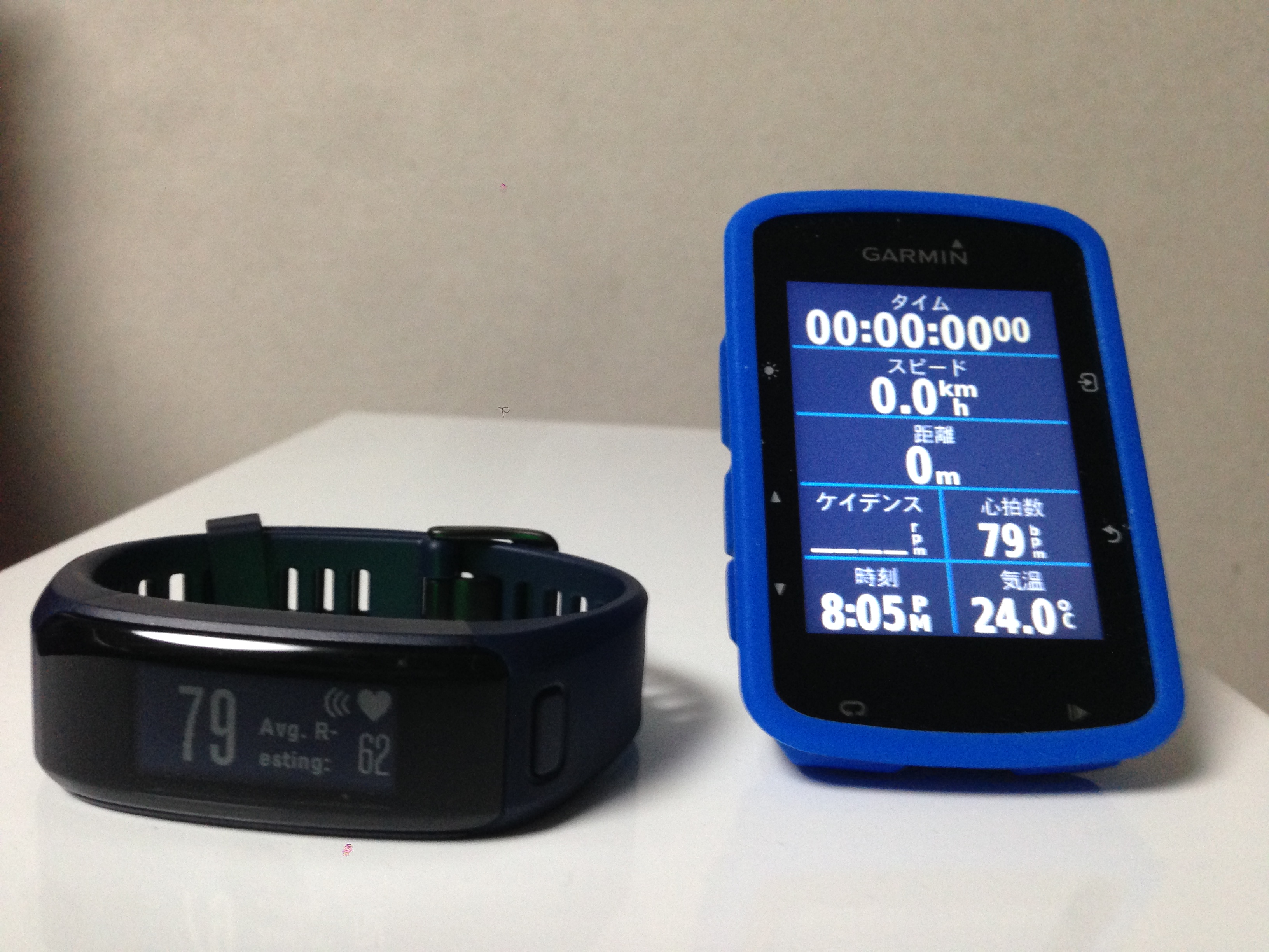
It works fine 😉
Current HR is 79bpm now!!
My Blog link:
Amazon link: